


10 Day Forecast
Severe weather information
No warnings currently in place
Warning Content Exclusive for Members

Canterbury High Country Regional Forecast
Friday 10 MAY
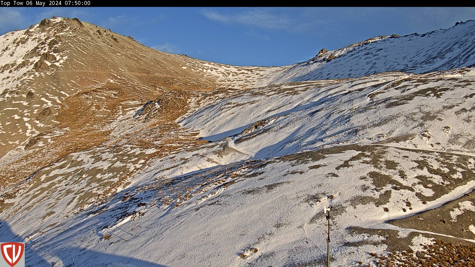
Sunny skies, with morning frosts and areas of cloud south of Mt Hutt. Cloud increasing further north in the afternoon and evening, with isolated showers, more frequent about the Hurunui and Kaikoura Districts from evening. Light snow to 1300m north of Mt Oxford at night and possibly 1000m west of Hanmer Springs. South-westerlies freshening in the afternoon.
Wind at 1000 Metres
Wind at 2000 Metres
Free Air Freezing Level
Key Considerations & Hazard Advice
N/A
Saturday 11 MAY
Sunny skies, with morning frosts about the basins. A few areas of cloud about the eastern ranges. Light winds, southerlies easing back about the eastern ranges and hills. High pressure.
Wind at 1000 Metres
Wind at 2000 Metres
Free Air Freezing Level
Key Considerations & Hazard Advice
N/A
Sunday 12 MAY
Sunny skies, with morning frosts. Light winds. High pressure.
Wind at 1000 Metres
Wind at 2000 Metres
Free Air Freezing Level
Key Considerations & Hazard Advice
N/A
Monday 13 MAY
A mostly fine day. Sunny skies, with a few cloudy periods. Light winds.
Wind at 1000 Metres
Wind at 2000 Metres
Free Air Freezing Level
Key Considerations & Hazard Advice
N/A
Tuesday 14 MAY
Sunny skies. Light winds. High pressure.
Wind at 1000 Metres
Wind at 2000 Metres
Free Air Freezing Level
Key Considerations & Hazard Advice
N/A
Become a member and gain full 10-day access
Already a member? Login here.

All days (1-10) are moderated and produced by the Canterbury Weather Updates forecast team. We also have a range of high-country towns and villages, with more specific information.
This information is provided for your own personal non-commercial use in accordance with the Canterbury Weather Update website terms and conditions.
Copyright New Zealand Regional Weather Updates 2014-2024.