MORE SNOW ON THE WAY – LOW FALLS LIKELY.
KEY POINTS THIS WEEKEND.
Member links.
•We now have a snow watch in place with full details, issued at 3:30pm – Read More
•Alpine road snowfall warning Read More
•Snow is likely about all our higher roads and passes on Saturday above 400-500m; especially as we move into the afternoon & evening as snow levels start to plummet. Snow will lower to around 300m, possibly even lower early Sunday morning. Expect closures and restrictions on our alpine passes late Saturday into Sunday. Significant falls may occur about Porters Pass and we currently have a road snowfall warning in place with full details.
•Our higher villages will see snow and possibly some of our higher villages and towns across the Canterbury Plains around the 300-400m ‘mark’.
•Farmers – snow will low to low levels late Saturday with widespread falls and possibly significant falls above 500m; lighter falls to around 300m. At lower levels expect rain and strong cold southerlies, especially about Coastal Canterbury. Conditions will slowly ease back Sunday morning.
•Ski fields – more snow with ‘healthy’ accumulations; anywhere between 25-40cm depending on location. Higher falls about Mt Hutt, Porters and Mt Lyford and even Hanmer Springs Ski Area which may opening the following week; exciting news!
•Polar air next week? We’re receiving a few questions regarding snow to sea-level next week. At this stage there is some indication of very cold southerly outbreak mid-week with snow around the 200m ‘mark’ currently. There has been a ‘trend’ over the last 3-4 days and while this remains a long way out, it’s worth keeping an eye on as we move into later stages of the week. This could be out best chance this winter of snow to near sea-level. We currently updating day 8 on all town pages; this will come into ‘play’ for all members tomorrow morning.
•All town pages, warnings and our ‘Live Weather Feed’ will be updated through the day.
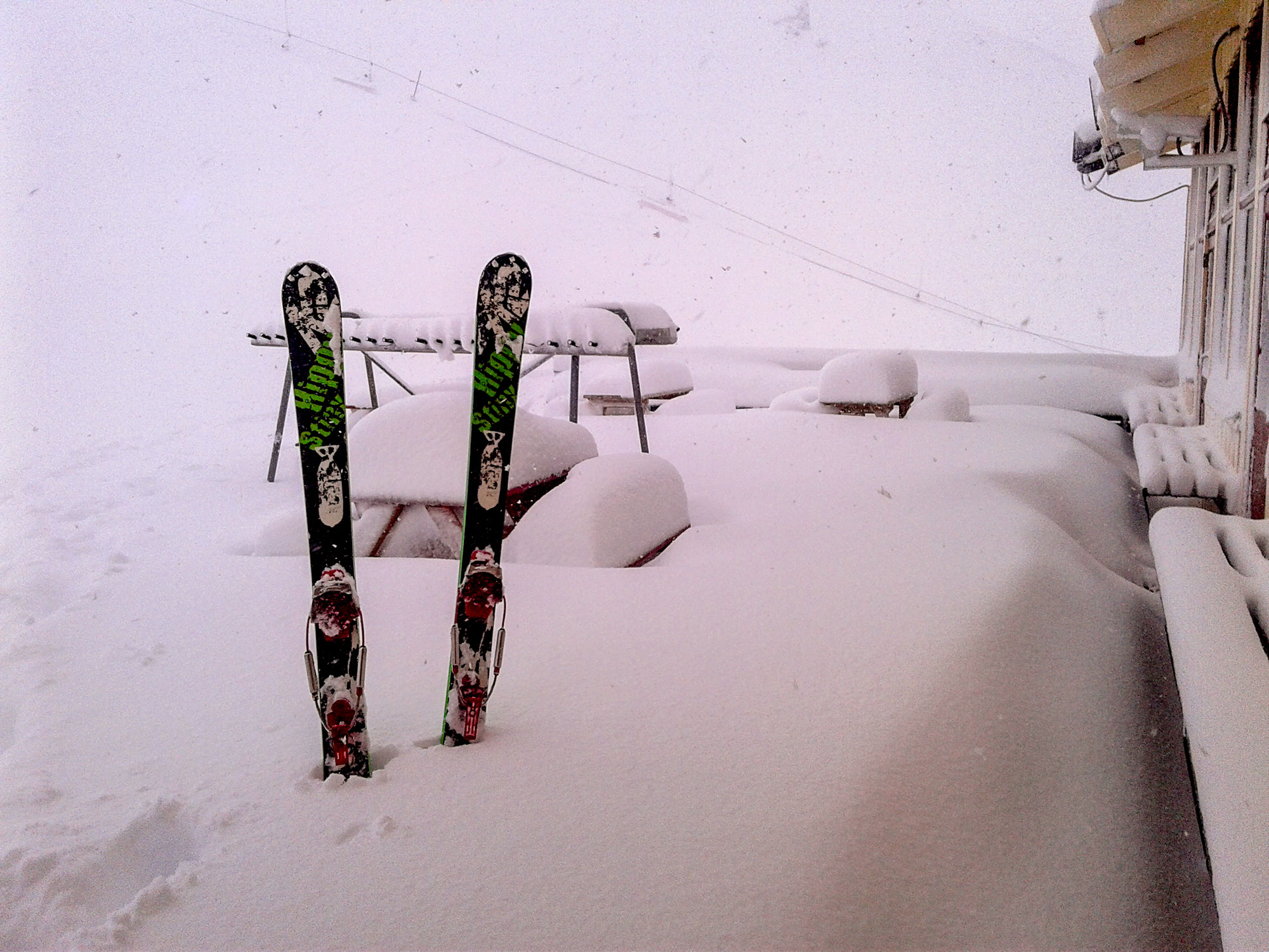
PHOTO: Our more eastern fields will experience more significant falls on Saturday/early Sunday. Archive photo. Broken River.
AFTER FULL WEATHER COVERAGE? JOIN TODAY AND RECEIVE ONE OF OUR MEMBERSHIP CARDS FOR FREE.