


YOUR COAST TO COAST WEATHER FORECAST – MOSTLY SUNNY, CALM & MILD.
Updated 1:20pm – Thursday afternoon 7/02/2018. FINAL UPDATE.
Our incoming low has just speed up and may bring some rain for athletes on Saturday afternoon, nothing major – just a bit more cloud cover and showers across the Canterbury Plains from midday. Friday has remained fine and settled, with just the possibility of convective showers between 3pm-9pm ( low risk)
FRIDAY: Sunny & settled on the West Coast & through the mountain stage. Light winds and temperatures pushing into the mid-twenties 24-26 degrees. Possible early low cloud about the valleys during the morning. There is the possibility of a few ‘heat showers’ between 3pm-9pm, any activity is likely to be very isolated & brief & is unlikely to affect any operations; this will most likely occur around Arthur’s Pass. Cross fingers for a nice cool and settled start before the suns intensity later in the day. Nothing has changed in over 14 days for Friday.
SATURDAY: Cloudy morning but remaining dry on the West Coast. Sunny spells more likely east of the Main Divide during the morning. Cloud increasing from late morning, with the possibility of light rain and showers from mid afternoon across the Canterbury Plains. Mild temperatures, especially east of the Main Divide through the High Country & Inland areas. Northerlies winds will greet those one day athletes as they approach Christchurch. Kick off temperatures 13-15 degrees, middle stages over Goat Pass 20-23 degrees and 22-24 degrees across the Canterbury Plains. So a dry morning, but a chance of light rain in the afternoon. Please note, this is still changing constantly on all maps & data and the rain may revert back to Saturday night.
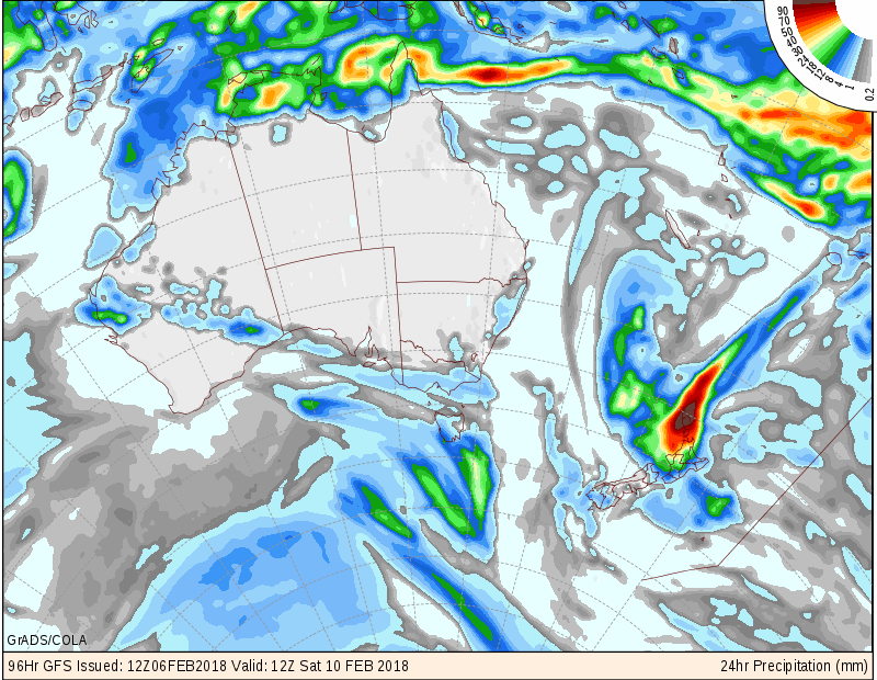
Situation: Our incoming low has just speed up on the latest analysis and we may see some light rain and showers from midday on Saturday. Model: GFS
Best of luck to all competing. I’ll be operating very slowly on the Mountain Run!
Weather Analyst: Russell Voice


Bob 3rd February
Thanks for the event-specific write up – much appreciated.
Wishing you the best of luck for the mountain run. Maybe I’ll see you somewhere along the course.